Mt. Hoffmann is a beautiful peak in northeastern Tuolumne County in central Yosemite National Park, California, United States. Rising above May Lake, it is a 6.2 mile (10.0 km) one-way hike from Tioga Pass Road. The mountain is named after the cartographer Charles F. Hoffmann, who was involved in the California geological survey of the Sierra Nevada. We love this hike and would recommend it to everyone who is looking for a real gem with breathtaking views over wide parts of Yosemite National Park.
Where are Mt Hoffmann and May Lake located
The location is not in Yosemite Valley, but actually in the Tioga Road area which is not far from the popular Olmsted Point viewpoint which is situated on May Lake.
Officially there is no trail marked on the park map, but it is there and easy to find (for anyone). Usually, first time visitors may have some trouble there at first, but more on that later.
Trail profile:
- 472 vertical meters from May Lake (10 km total hike)
- Trailhead to May Lake (moderately ascending trail, about 1 leisurely hour each way)
- Lastly, there is water and toilets at High Sierra Camp at May Lake
- Technically undemanding hiking tour with fitness for approx. 6 h total walking time (without rushing)
- Surefootedness and hiking boots are highly recommended
Start the hike to Mt Hoffmann and May Lake
Access from Tiogo Road via May Lake Access Road (turnoff is signed) to trailhead (TH).
The road is a dead end, drivable by any vehicle and mainly in a condition that makes looking out for potholes very reasonable.
From the TH parking lot the trail to May Lake is clearly visible. We will follow this trail to the lake on a good path through fairly typical, mostly light High Sierra terrain.
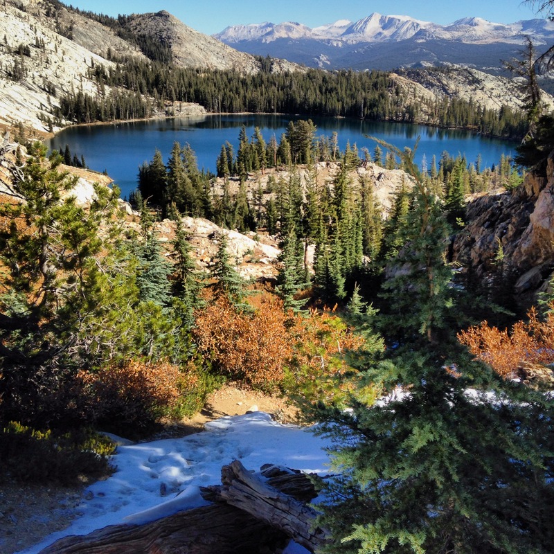
Upon arriving at May Lake, we find a High Sierra Camp off the famous, long distance hiking trail – Pacific Crest Trail (PCT). Above the lake, we can already see Mt. Hoffman which is our destination. Can you see already the summit?
Do not follow the PCT along the lake because at the end of the lake, you get further away from the goal.
The secret is to pay attention. Upon reaching the May Lake Camp, you have to keep left, in front of the lake as there follows the lake shore in a westerly direction.
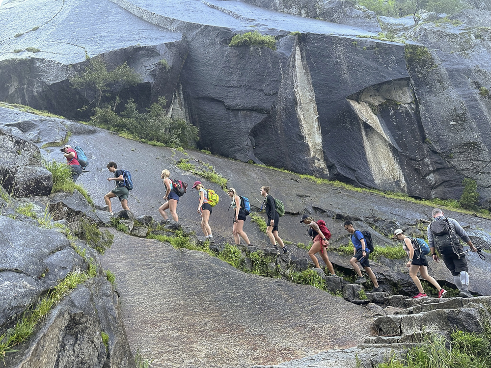
At the end of the lake, the clearly visible trail turns left again and then runs through wildflower-covered meadows through a gully back to the south. After about 800 m the trail turns right to northwest and leads up several steps to the summit. Many stonewalls (cairns) help you to stay on the trail. If you miss the upper trail, it’s not a problem. The solid scree slope with large stones is easy to climb.
The first “summit” which you had already seen from below, is not the actual summit, but just the summit plateau.
Have we reached the summit of Mt Hoffmann?
Not yet, upon following a path over the rather flat plateau which to us seemed to be a walking path, you walk around the small massif on the right hand side, the real summit of Mt Hoffmann with the summit cross is hiding behind it.
On the left there is a real dragon ridge leading up to it. On the right there is a dizzying precipice to the valley behind it with great glittering mountain lakes.
Coming from the left to the large saddle on the right below the summit, you can now see the original hiking trail at May Lake.
From the above-mentioned large saddle, you now head straight for the summit. The last meters are quite steep and run over large stone blocks with good grip to the top. Here, you have to use your hands every now and then to help, but due to the good grip of the granite rock prevailing in this area, it is not dangerous and easily doable.
On the summit, the summit cross turned out to be a weather station and it was quite cool. All around you, you typically find the usual most beautiful blue Californian sky. As a reward for the hiking efforts, you might want to have a nice piece of chocolate.
The view that opens up here is magnificent. Mt Hoffmann has a premium view from the summit with 360° panoramic view over the entire Yosemite area and large parts of the Sierra Nevada with hundreds of ice age formed peaks (Ice Age says hello).
Photos can’t reflect this magnificent view.
By the way, the dragon ridge can be explored from the summit for further pastime (and to stretch the legs) without any problems – a great playground!
After some time, you followed the trail back to May Lake and then the known access trail back to the car.
Conclusion of the Mt Hoffmann and May Lake hike
Mt Hoffmann and May Lake offer an amazing mountain hiking day with a relatively lonely highlight of the Yosemite area. No comparison to the crowded hiking destinations in the Valley and for some the nicer part of the National Park.
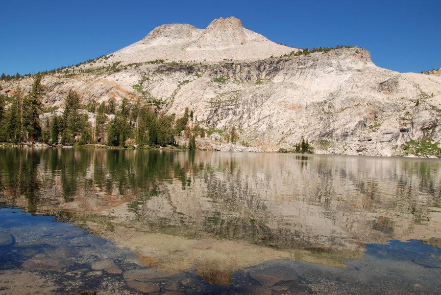
May Lake, with the mountains reflected in the water, is worth a trip alone and doable for everyone.
If you are interested in similar adventures, follow us to our Half Dome Hiking Guide.